Our Work
Mapping Catchment Runoff
Mapping Catchment Runoff
Introduction to the project
Project Dates: 2023 – 2024
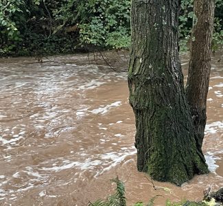
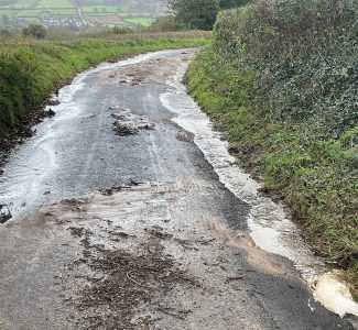
One of the major problems in the valley is the intensity of runoff after heavy rain. The river responds by rising rapidly, moving large quantities of stones downstream, eroding the river bed and banks and carrying our red soil to the sea.
These events have numerous adverse impacts on the valley.Famers lose soil, drains and culverts become blocked with earth and debris, roads turn into rivers and flooding can occur. These extreme events damage our river wildlife.
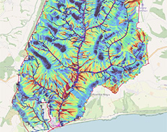
In order to address this problem our Catchment Advisor, Simon Browning, compiled a map identifying the areas of most intense runoff so we can identify the areas where intervention might be most effective.
- To create a runoff map of the River Sid catchment
- To identify areas of intense overfland flow
- To support intervention at specific locations to ease the effects of runoff.
Project Details
Simon Browning, the catchment advisor, obtained data from various sources and the information was overlaid.
The overlays include data from remote sensing (LIDAR) that gives a representation of the topography and contour lines can be added. This is combined with data on predicted rainfall. High runoff areas are identified on the assumption that the ground is already waterlogged and are indicated in dark red on the map.
The result is the SCI map (Sensitive Catchment Integrated Modelling and Prediction), acknowledgements to Dr Sim Reaney at Durham University who developed it and has ensured it is free for all to use
Further detail could be added when land use is considered. Erosion risk will vary. e.g. there would be higher run off from a field of maize than a meadow rich grassland. This runoff co efficient will change overtime with land use. Actually walking the ground is important to verify desktop predictions. For closer analysis the individual overlays can be viewed separately.
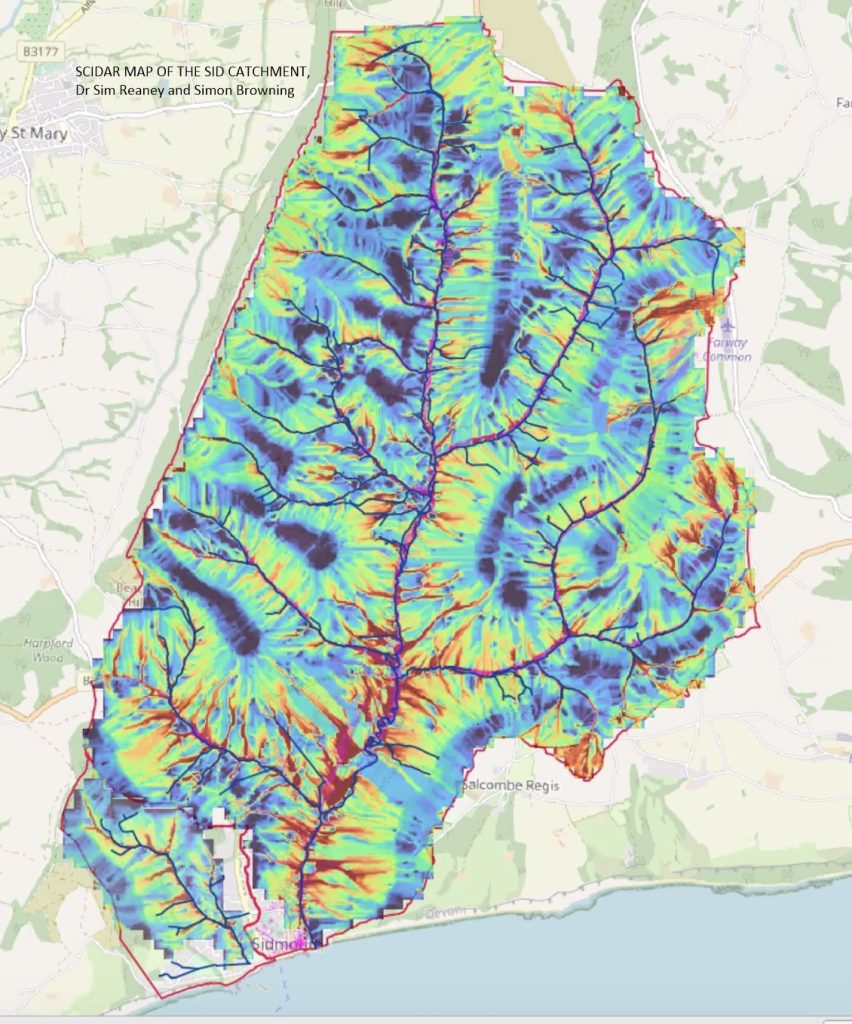
124 runoff hot spots have been identified in the valley. Five are in the Bickwell Brook catchment.
There are many opportunities for small projects which might lessen the impact of heavy rain and retain water on the land for longer which is good in both wet and dry conditions. It gives water the chance to soak down into bed rock which might add water to the Otter Sandstone, increasing the rate of recharge of the aquifer from which our drinking water is sourced.
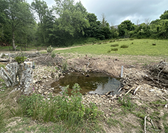
Numerous hot spots are in urban areas so additional water storage, in water butts and ponds, plus the construction of rain gardens can help.
https://raingardens.info/wp-content/uploads/2012/07/UKRainGarden-Guide.pdf
Building a Rain Garden
Other Projects
Take a look at some of our other work and projects.
Newsletter
Subscribe to the newsletter to stay up to dates with the latest news along the River Sid,
including conservation work, volunteering opportunities, and useful information.

